- Version
- Download 653
- File Size 27.43 MB
- File Count 1
- Create Date April 10, 2019
- Last Updated April 16, 2019


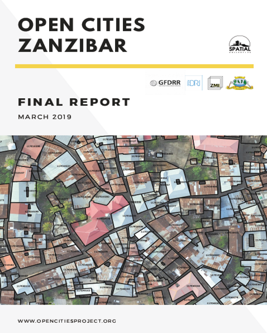
For the purposes of disaster risk management, the Revolutionary Government of Zanzibar (RGoZ), specifically the Commission for Lands (COLA) and the Department of Urban Planning, have noted the need to update their Zanzibar Master Plan with locations of all the built structures and flood-prone areas in the city.
Spatial Collective, the implementing partner of Open Cities Africa, spent many months on Zanzibar working with the local stakeholders and coordinating various data collection activities. The goal was to generate and visualize datasets critical to disaster risk management and to build the capacity of government staff, university students, and communities in the process.