Why Urban Planning Needs AI and AR
March 10, 2025Homeground: When Data Finds You
August 6, 2025Why Location Data Matters More Than Ever
Location-based services (LBS) are transforming the way we interact with the world. Using geographical data, these services provide personalized, real-time information that enhances experiences across various industries. Businesses use LBS to deliver targeted content, while individuals rely on tools like Google Maps for navigation. From marketing and entertainment to urban planning and emergency response, LBS have become essential to daily life.
The global LBS market is growing rapidly, driven by increasing smartphone adoption, expanding IoT networks, and the growing demand for location-based data. As mobile networks and IoT technology advance, LBS will become even more precise and powerful. This trend is expected to continue, with significant growth in sectors of retail, logistics, healthcare, development, transportation, intelligence, and smart cities.
LBS are already reshaping industries. Ride-sharing apps like Uber and Bolt optimize routes for drivers, while retailers such as Google Maps, Yelp, and Apple Maps use geofencing to engage customers in real time. Logistics companies like DHL and FedEx rely on LBS to streamline supply chains, while smart cities use real-time tracking to improve public transportation systems through applications like Moovit and Citymapper. In conservation, organizations like Save the Elephants track wildlife movements to protect endangered species. Furthermore, LBS go beyond commercial applications. Event organizers, museums, NGOs, and city governments are also using LBS to improve engagement, efficiency, and decision-making.
LBS also play a critical role in development. Organizations like the IFRC and FEMA use them to manage emergency resources during disasters, while the WHO and CDC rely on LBS to track disease outbreaks, as seen during the COVID-19 pandemic. Cities use LBS for urban planning and infrastructure management. In agriculture, location-based platforms provide farmers with real-time weather and market insights, while mobile money services such as M-Pesa in Kenya use LBS to expand financial inclusion, allowing underserved communities to access banking services.
The impact of LBS is only just beginning. As technology advances, new applications will emerge, solving challenges we may not have even considered yet.
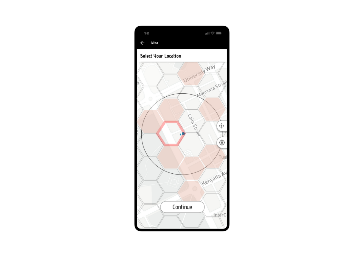
At Spatial Collective, we’ve explored and experimented with LBS in various ways, from developing a text-messaging app that connects users based on geographic proximity, experimenting with search engines enabling location-based apartment hunting, and providing real-time, location-specific data for development workers and communities. We’ve used LBS to design and visualize 3D digital objects for urban planning and creating solutions that display property boundaries. These examples only scratch the surface of what’s possible.
LBS have the potential to unlock new economic opportunities, improve public services, and drive social progress. Now is the time to think creatively about utilizing this powerful technology for the greater good.