The Power of Community Mapping and Community Data
November 23, 2016Mobility of Men and Women in Informal Settlement Related to Seeking Opportunities
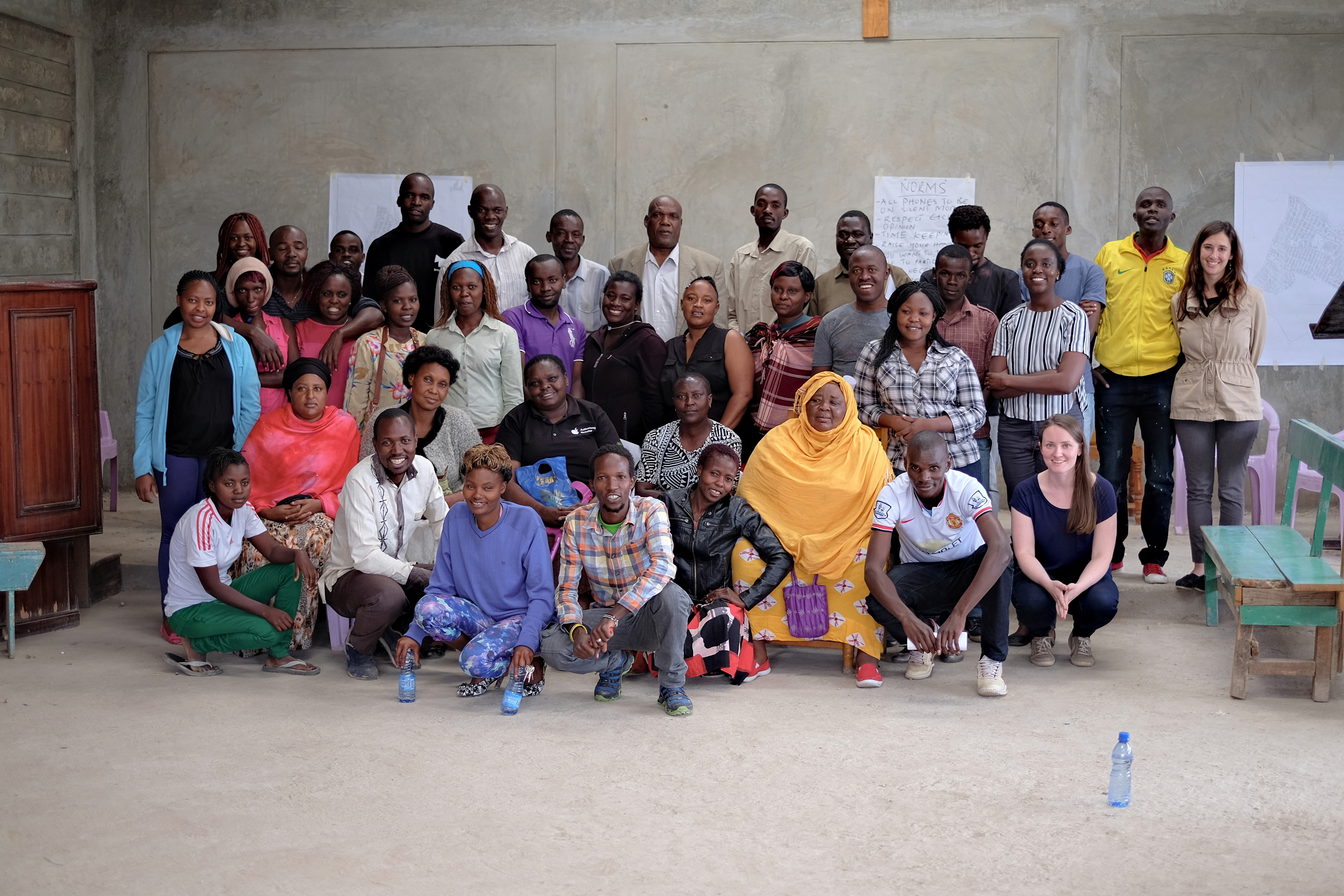
January 9, 2017Spatial Collective was hired in the spring of 2016 to develop a Geographic Information Systems-based participatory mapping approach to support Kenya Informal Settlement Improvement Project (KISIP) in developing settlement specific designs aimed at linking perceptions of safety to infrastructural upgrading in informal settlements. The project was implemented in Kayole Soweto, in collaboration with The World Bank and the Government of Kenya Ministry of Lands, Housing, and Urban Development.
Kayole Soweto is a government-sanctioned settlement located in Savannah location of Embakasi East constituency in Nairobi City County. The settlement is further divided into 10 administrative zones. Soweto is a settlement consisting of permanent and semi-permanent structures which house an estimated population of 90,000 people in approximately 22,400 households.
As a part of the process, a mapping study took place between May 23 and 30 2016, aimed at linking perceptions of safety and insecurity to infrastructure development in order to inform the future of infrastructural upgrading in informal settlements. Focus group discussions, GPS mapping and participatory map-drawing exercises were conducted with residents of Kayole Soweto. Participants of the focus group discussions included youth, male and female, ages 18-25; reformed youth*, male and female, ages 18-25; and men and women, ages 40 and above. GPS mapping was done by 10 male and 10 female community members representing all ten zones** of the settlement.
Some of the questions that the study wanted to answer were: How do people navigate the places in which they live? Does gender influence mobility and in what way? How do men and women access opportunities within and outside the slum? How are spaces in informal settlements traversed differently according to gender? Which paths are the most traveled in a community, when and why? Does gender influence perceptions of safety when it comes to movements within the informal settlement? What types of crime are most prevalent in Soweto Kayole and where? Which support systems for victims of crime exist within the settlement?
After about a month of data collection, the following four maps were designed:
- Men’s and women’s perceptions of safety related to mobility in Kayole Soweto
- Safe and unsafe areas as perceived by men and women in Kayole Soweto
- Types of crimes and support systems as perceived by men and women in Kayole Soweto
- Improvements as proposed by men and women in Kayole Soweto
These represent an overlay of information obtained using a mixed-method approach including a) stakeholder consultations and participatory project planning; b) building extraction by youth using aerial imagery; c) GPS data collection by community members; d) participatory map drawing through focus group discussions with community members; e) and finally, map creation.
We will present each map separately and subsequent blog post.
—
* Reformed youth’ is a term coined by Kayole citizens and it represents youth whose experiences range from substance abuse and sexual work to homelessness. Participants were identified through a local rehabilitation program.
** Planned and unplanned settlements in Nairobi are usually further divided into ‘Villages’ or ‘Zones’ which represent the smallest administrative areas. Kayole Soweto is divided into 10 zones.


