0%

 The Reslience Academy is a World Bank funded program aimed at equipping young people from various universities in Tanzania with tools, knowledge and skills to address various urban data challenges and ensure resilient urban development.
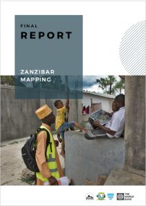
In 2019, over a 6 week period, Spatial Collective trained over 50 students from the State University of Zanzibar (SUZA) in various geospatial data capture techniques and further organized mapping campaigns in 42 shehias of Zanzibar Urban West Distirict. From these campaigns, approximately 100,000 buildings were digitized, over 1,000 amenities captured, 5,000 businesses documented and 35km of drainage mapped. All these datasets were made available on OpenStreetMap and the Resilience Academy Geonode.
 For the purposes of disaster risk management, the Revolutionary Government of Zanzibar (RGoZ), specifically the Commission for Lands (COLA) and the Department of Urban Planning, have noted the need to update their Zanzibar Master Plan with locations of all the built structures and flood-prone areas in the city.
Spatial Collective, the implementing partner of Open Cities Africa, spent many months on Zanzibar working with the local stakeholders and coordinating various data collection activities. The goal was to generate and visualize datasets critical to disaster risk management and to build the capacity of government staff, university students, and communities in the process.
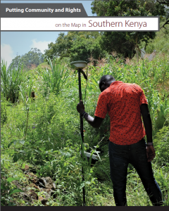 The Community Lands Act of Kenya – passed in September 2016 – provides for the recognition, protection, and registration of community land rights. One of the requirements to registering community land is for communities to agree on and identify the community resources and boundaries to determine which entity deserves recognition for ownership. For this reason, there is an urgent need to build the most affordable and sustainable systems for mapping community lands.
We believe that through affordable and ubiquitous technologies, coupled with awareness raising and training, local communities can understand their land rights and contribute to proper land mapping in rural and remote areas of Kenya. While Kenya has existing legislature and controlling bodies to enact land laws, many local communities remain unaware of their rights and the processes to claim and register land. This leaves a large part of the country unmapped and communities ripe for dispute and confrontation.
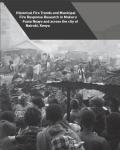 Spatial Collective was contracted by the KRCS to conduct research into Historical Fire Trends & Municipal Fire Response, with a focus on Mukuru Fuata Nyayo (the project site) in Nairobi, Kenya.
The objectives of this assignment were to:
1. Research and document historical fire incidents, including location, causes and impact in Mukuru Fuata Nyayo.
2. Research and document existing municipal response mechanisms, as well as current opportunities and challenges related to fire response in Mukuru Fuata Nyayo and the broader Nairobi.
3. Study the linkages between the municipal and community-based fire response mechanisms.
4. Comment on how socio-economic characteristics (demographics, community development & social cohesion) relate to fire outbreaks and response.
 One of the requirements to registering community land in Kenya is for communities to agree on and identify the community resources and boundaries to determine which entity deserves recognition for ownership. For this reason, there is an urgent need to build the most affordable and sustainable systems for mapping community lands.
In 2016, Spatial Collective, with support from Omidyar Network and Oxfam, provided technical assistance to Namati and their partner Kenya Land Alliance on delineating community lands in two targeted communities – Chara and Handaraku – in Tana River County. This report provides a summary of activities and lessons learned during several weeks of training and fieldwork activities conducted by Spatial Collective.