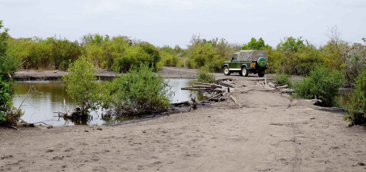
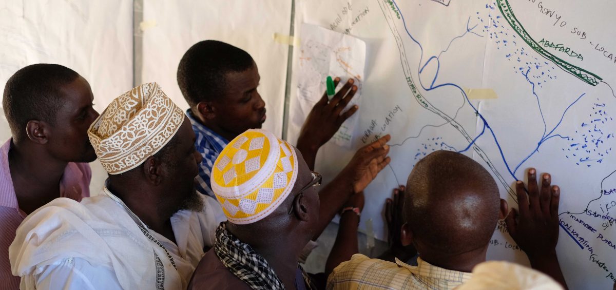
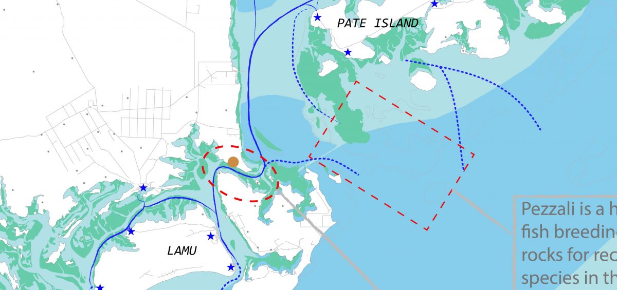
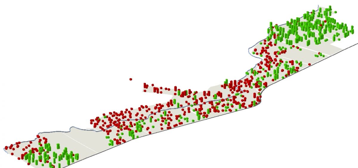
The final step in community land mapping in Tana River County was to design the maps of the two targeted communities. Previous steps are described here, here and here. To complete the two maps we used data collected from the field, including GPS files of points and tracks, two drawings made by community members of their communityRead more
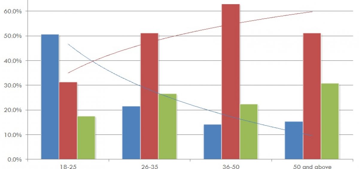
0%